The T.N.T Area
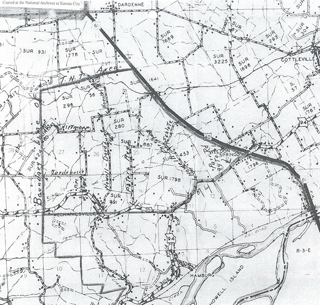



Old T.N.T Area Map
T.N.T Area Map
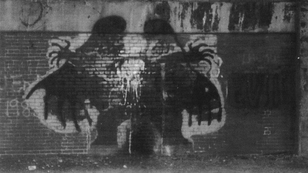
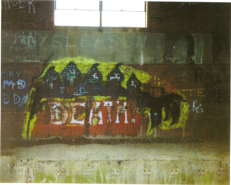
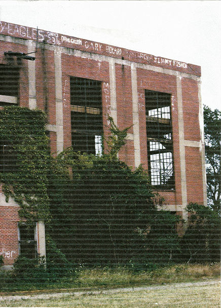
Some Erie Artwork Inside The North Powerplant, Demolished Early 1990's
Some More Erie Artwork Inside The North Powerplant, Demolished Early 1990's
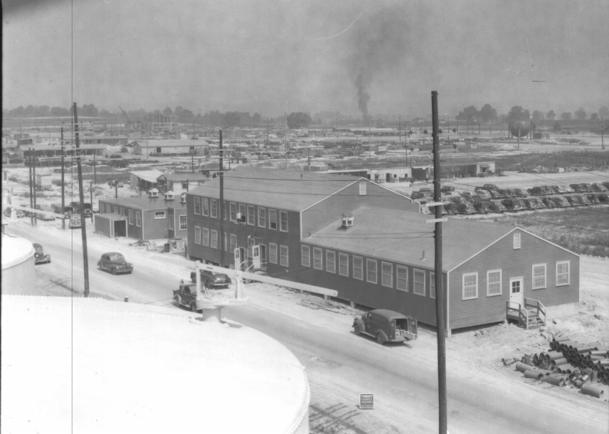
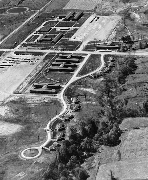
Facilities During World War II
T.N.T Area Map
T.N.T Area Map
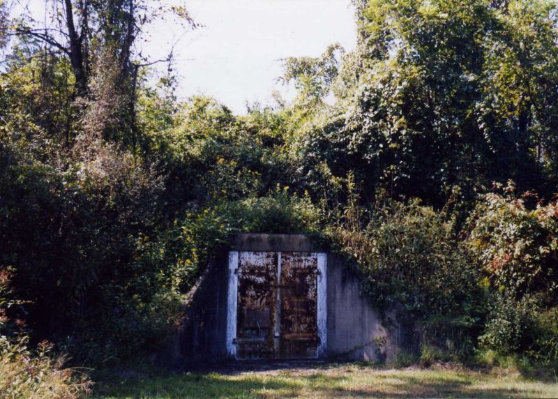
T.N.T Munitions Bunker
Aerial of Staffhouse Row and Dormatories at West Virginia Ordnance Works
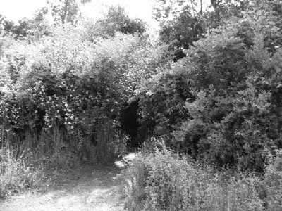
T.N.T Area Hidden Bunker
T.N.T Area North Power Plant.
Demolished In The 1990's
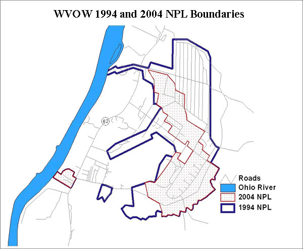
T.N.T Area Boundaries Map
5 - 5
<
>
Local people call it the "TNT area", the former West Virginia Ordnance Works from World War II is located in Mason County about 7 miles north of Point Pleasant, West Virginia. Now called the McClintic Wildlife Management Area.
Located on 3,655 acres the wild life management area is occupied by 600 acres of farmland,
180 acres of wetland (encompassing 31 ponds), 1,100 acres of brush-land and 1,775 acres of mixed hardwood forest.
The T.N.T Area was a United States Army ammunition manufacturing facility constructed and operated during World War II. It was located north of Point Pleasant, West Virginia in Mason County encompassing 8,323 acres.
The $45 million plant employed 3500 at its peak and operated from 1942 to 1945. The site was disposed of following the war and land was utilized by creating a landfill.
Besides being a haven for partying teenagers, it was also where many people saw the creature now dubbed Mothman.
